
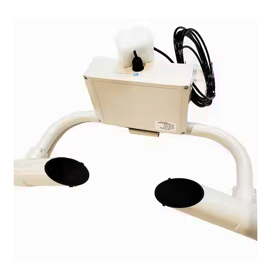
Visibility sensor overview
As the core equipment of modern environmental monitoring, visibility sensors measure atmospheric transmittance in real time through photoelectric principles and provide key meteorological data for various industries. The three main technical solutions are transmission (baseline method), scattering (forward/backward scattering) and visual imaging. Among them, the forward scattering type occupies the mainstream market with its high cost performance. Typical equipment such as the Vaisala FD70 series can detect visibility changes within the range of 10m to 50km with an accuracy of ±10%. It is equipped with RS485/Modbus interface and can adapt to harsh environments of -40℃ to +60℃.
Core technical parameters
Optical window self-cleaning system (such as ultrasonic vibration dust removal)
Multi-channel spectral analysis technology (850nm/550nm dual wavelength)
Dynamic compensation algorithm (temperature and humidity cross-interference correction)
Data sampling frequency: 1Hz~0.1Hz adjustable
Typical power consumption: <2W (12VDC power supply)
Industry application cases
1. Intelligent transportation system
Highway early warning network
The visibility monitoring network deployed on the Shanghai-Nanjing Expressway deploys sensor nodes every 2km in sections with high incidence of fog. When visibility is <200m, the speed limit prompt on the information board (120→80km/h) is automatically triggered, and when visibility is <50m, the toll station entrance is closed. The system reduces the average annual accident rate of this section by 37%.
2. Airport runway monitoring
Beijing Daxing International Airport uses a triple redundant sensor array to generate runway visual range (RVR) data in real time. Combined with the ILS instrument landing system, the Category III blind landing procedure is initiated when RVR<550m, ensuring that the flight punctuality rate is increased by 25%.
Innovative application of environmental monitoring
1. Urban pollution tracing
Shenzhen Environmental Protection Bureau set up a visibility-PM2.5 joint observation station on National Highway 107, inverted the aerosol extinction coefficient through visibility, and established a pollution source contribution model in combination with traffic flow data, successfully locating diesel vehicle exhaust as the main pollution source (contribution 62%).
2. Forest fire risk warning
The visibility-smoke composite sensor network deployed in the Greater Khingan Range forest area can quickly locate the fire within 30 minutes by monitoring the abnormal decrease in visibility (>30%/h) and cooperating with infrared heat source detection, and the response speed is 4 times higher than that of traditional methods.
Special industrial scenarios
1. Port ship pilotage
The laser visibility meter (model: Biral SWS-200) used in Ningbo Zhoushan Port automatically activates the ship automatic berthing system (APS) when visibility is <1000m, and achieves a berthing error of <0.5m in foggy weather by fusing millimeter-wave radar with visibility data.
2. Tunnel safety monitoring
In the Qinling Zhongnanshan highway tunnel, a dual-parameter sensor for visibility and CO concentration is installed every 200m. When visibility is <50m and CO>150ppm, the three-level ventilation plan is automatically activated, shortening the accident response time to 90 seconds.
Technology evolution trend
Multi-sensor fusion: integrating multiple parameters such as visibility, PM2.5, and black carbon concentration
Edge computing: local processing to achieve millisecond-level warning response
5G-MEC architecture: supporting low-latency networking of massive nodes
Machine learning model: establishing visibility-traffic accident probability prediction algorithm
Typical deployment plan
The “dual-machine hot standby + solar power supply” architecture is recommended for highway scenarios, with a pole height of 6m and a 30° tilt to avoid direct headlights. The data fusion algorithm must include a rain and fog recognition module (based on the correlation between visibility change rate and humidity) to avoid false alarms in heavy rain weather.
With the development of autonomous driving and smart cities, visibility sensors are evolving from single detection devices to core perception units of intelligent traffic decision-making systems. The latest technologies such as Photon Counting LiDAR (PCLidar) extend the detection limit to below 5m, providing more accurate data support for traffic management in extreme weather conditions.
Post time: Feb-12-2025