
Abstract
The advent of hydrologic radar level flow velocity sensors has revolutionized the field of hydrology, providing critical data for understanding and managing water resources. These sensors use advanced radar technology to measure the velocity and levels of water bodies in real-time, which is essential for flood forecasting, irrigation management, environmental monitoring, and urban planning. This paper discusses the significant impacts of these sensors on global hydrology, highlights various application scenarios, and explores their implications for sustainable water resource management in a changing climate.
1. Introduction
Global water resources are under increasing pressure from population growth, urbanization, and climate change, leading to altered hydrological patterns and heightened flood and drought risks. Traditional methods of measuring flow rates and water levels often lack the precision and timeliness required for effective management. The introduction of hydrologic radar level flow velocity sensors offers new opportunities for overcoming these challenges. This paper reviews the relevant technologies, their global importance, and practical applications that underscore their value in hydrological studies.
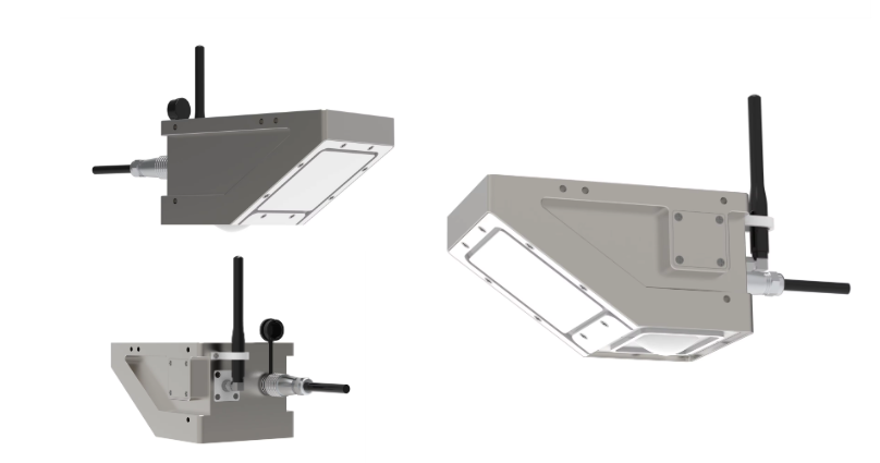
2. Overview of Hydrologic Radar Technology
Hydrologic radar sensors operate by emitting radar waves that reflect off the water surface. The time it takes for the signals to return to the sensor allows for the calculation of water levels and flow velocities. Key features include:
- Real-time data acquisition: Continuous monitoring provides up-to-date information crucial for decision-making.
- Remote sensing capabilities: Ability to monitor inaccessible areas, enhancing data collection in diverse geographical settings.
- Reduced maintenance costs: Unlike traditional mechanical sensors, radar sensors require minimal maintenance, reducing long-term operational costs.
3. Impact on Global Hydrology
3.1 Improved Flood Prediction and Management
One of the most critical applications of hydrologic radar sensors is in flood prediction and management. By providing real-time data on river levels and flow velocity, these sensors allow authorities to issue early warnings. For instance:
- Case Study: The Mekong River Basin: In countries like Vietnam and Thailand, radar sensors have significantly improved forecasting accuracy, allowing for better preparedness against seasonal flooding, saving lives, and reducing economic losses.
3.2 Sustainable Water Resource Management
Accurate measurements of flow rates are essential for sustainable agricultural practices. Hydrologic radar sensors enable:
- Optimized Irrigation: For example, in regions prone to drought, such as California and parts of Australia, precise flow data enables farmers to optimize water use, thereby conserving water and ensuring crop yield.
3.3 Ecosystem Management and Environmental Protection
Hydrologic radar sensors contribute to environmental monitoring by:
-
Assessing Water Quality and Quantity: In sensitive ecosystems such as wetlands and estuaries, real-time data helps in understanding those ecosystems’ hydrologic regimes. This is vital for maintaining biodiversity and making informed conservation decisions.
-
Impact assessment of climate change: Regular monitoring assists in gathering critical data to study changing hydrological patterns resulting from climate shifts, helping policymakers formulate effective responses.
3.4 Urban Water Management
As urban areas expand, the management of stormwater becomes increasingly urgent:
- Case Study: Smart Cities: In urban developments worldwide, leveraging hydrologic radar sensors enables the collection of flow data to design effective drainage systems, reducing the risks of urban flooding. Cities like Singapore have implemented such technologies to enhance their water resilience.
4. Application Scenarios
4.1 Hydrological Research
Research institutions are using hydrologic radar sensors for various studies, including watershed modeling and hydrological cycle analysis. For example, in the Amazon Basin, researchers track rainfall-runoff relationships, contributing to a better understanding of regional climate change effects.
4.2 Disaster Management
During natural disasters, these sensors can play a vital role. Their integration into disaster response systems enhances the ability to make real-time decisions, ensuring timely evacuations and resource allocation.
4.3 Infrastructure Maintenance
Infrastructure that interacts with water bodies, such as bridges, dams, and levees, requires ongoing monitoring. Hydrologic radar sensors provide essential data for assessing the health of these structures, ensuring safety and longevity.
5. Future Directions
As technology advances, integrating hydrologic radar sensors with AI and machine learning offers exciting potential for predictive analytics in hydrology. Enhancements may include:
- Data Fusion: Combining radar data with satellite imagery for comprehensive monitoring.
- Predictive Models: Deploying AI to predict hydrological events by analyzing historical data and current measurements.
6. Conclusion
Hydrologic radar level flow velocity sensors have a profound impact on how hydrology is understood and managed globally. Their ability to provide real-time, accurate data enables enhanced flood management, sustainable agricultural practices, effective urban planning, and ecosystem protection. As the world faces increasing environmental challenges, the role of these sensors will become even more crucial, laying the groundwork for sustainable water resource management practices that benefit both humanity and the planet.
For more water radar sensor information,
please contact Honde Technology Co., LTD.
Email: info@hondetech.com
Company website: www.hondetechco.com
Post time: Feb-19-2025