A hydrological survey to map the seafloor of New Zealand’s Bay of Plenty began this month, collecting data aimed at improving navigation safety in ports and terminals. The Bay of Plenty is a large bay along the northern coast of New Zealand’s North Island and is a key area for offshore activity.
The New Zealand Land Information Agency (LINZ) oversees surveying and chart updates in New Zealand waters to enhance maritime safety. According to the Senior hydrographic Surveyor, the survey at Bay of Plenty will be carried out by the contractor in two phases. Images will commence Marine mapping in the vicinity of Tauranga and Whakatne. Locals may notice the survey vessel, which can conduct investigations 24 hours a day.”
Shipwrecks and undersea mounds
The survey uses multi-beam echo sounders mounted on ships to create detailed 3D images of the seafloor. These high-resolution models reveal underwater features such as shipwrecks and undersea mounds. The survey will explore the dangers of the sea floor. The survey will investigate a number of seafloor debris, rocks and other natural features that pose a threat to navigation.
In early 2025, a smaller vessel, Tupaia, will map the shallower waters around Poptiki as part of the second phase. Wilkinson stressed the importance of updated charts for all seafarers: “Every area of New Zealand waters we survey is updated to help ensure New Zealanders, shipping companies and other seafarers have the latest information to navigate safely.”
Once processed over the next year, 3D models of the collected data will be available for free on the LINZ data service. The survey will complement bathymetric data previously collected in the Bay of Plenty, including coastal data from technology trials earlier this year. “This survey fills in data gaps and provides a much clearer picture of the areas we know seafarers navigate,” Wilkinson noted.
Beyond navigation, the data has significant potential for scientific applications. Researchers and planners can use the models for tsunami modelling, marine resource management and understanding the composition and structure of the seafloor. highlighted its broader relevance, stating: “This data will also help us understand the shape and type of the seafloor, which is really useful for researchers and planners.”
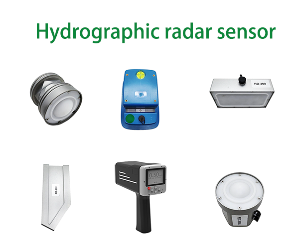
We can provide high quality hydrographic radar sensors for you to choose from
Post time: Nov-27-2024


